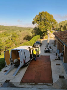
In the GEOFIT project, heating and cooling components design and integration are developed for the different layouts and demo-sites and comprise a detailed design and description of the different subsystems or components to form a complete system.
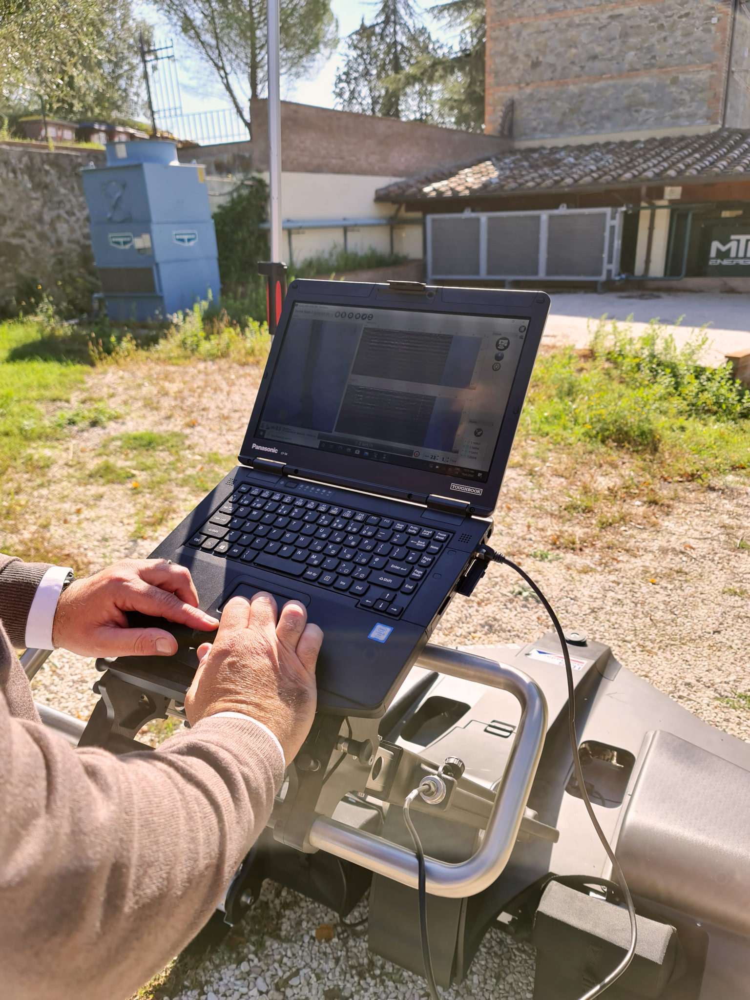
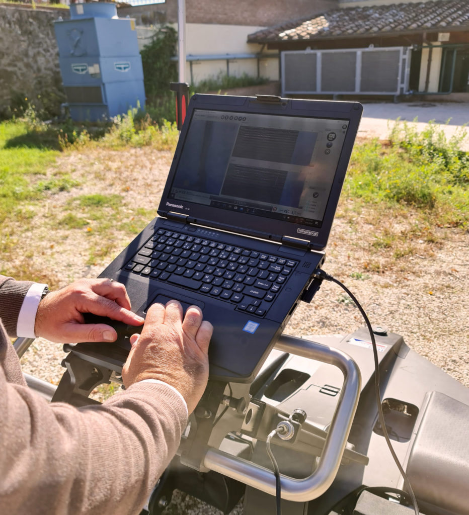
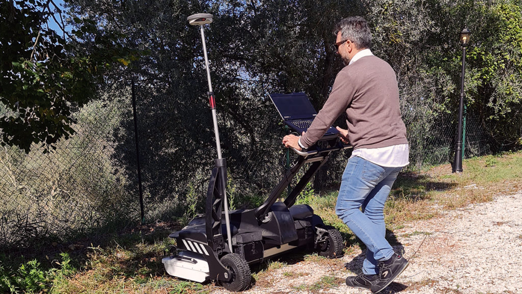
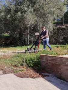
Key elements and components, as well as their specifications, are being developed and inventoried as part of the GEOFIT project activities. As in previous work, the deployment of low-invasive risk assessment, site-inspection, and worksite-building monitoring techniques extend its use as a monitoring tool for geothermal based retrofitting operations and deploy novel tools enabling the view of assets in a cartographic or a geographical environment and comparing with the information stored into GIS collectors and the Web Map Services (WMS).
A common data environment containing GIS/BIM models/sensor data allows users to locate, map, update and share objects and subsurface utility information simultaneously, contributing to the realization of a new “GEOBIM platform”. The objective of the GEOBIM platform is to assess and verify the integration of the GEOFIT solutions in specific cases developing the respective different BIM models over a geographical information layer, aiming at replication and modularity of the solutions, outputs for exploitation, impact assessment, and dissemination of the results.
The implementation of the previously defined system is addressed for buildings with different typologies and energy demands. Then, integration of the conditions and the building’s engineering specifications are defined within the GEOBIM platform.
The GEOBIM platform considers the scalability and flexibility of the data integration and analysis tools development to support interoperability among the elements installed. The design inputs come from:
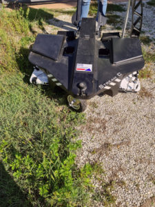
- Boreholes and ground excavations information
- Geothermal heat exchangers designs
- Ground source heat pumps designs
- Heat pumps designs
- Heating and cooling systems designs
- Sensors information
- Simulations data
By covering the 7 dimensions of the #BIM approach, the GEOBIM platform implements the following functions:
- Project visualization
- Data management
- Demo-site analysis functions
- Geothermal performance
- Heating/Cooling performance
- GEOFIT assets management
- CAPEX
- The lifecycle of systems and assets
Within the GEOBIM platform development (understood as a common data environment), model-based cooperation is the advanced portrayal of the general GEOFIT development process. This portrayal is made in collaboration with the different partners involved in the design, modeling, construction/fabrication, installation, and commissioning, who utilize different CAD-based tools. The Common Data Environment (CDE) is characterized as a typical advanced task space, which gives very much characterized collaborative territory to the undertaking partners joined with clear status definitions and a strong work process portrayal for sharing and endorsement forms and objects data.
Written by Sergio Velasquez, from IDP
Want to learn more?
➜ Click on this link to have a look a the 10 Geobim videos posted on the project’s Youtube channel and thank you for watching!
Videos produced by COMET