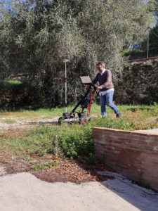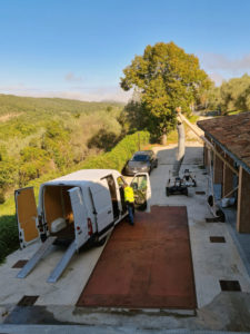
On the 6th of October, IDS GeoRadar was at the pilot in Perugia to perform a Ground Penetrating Radar (GPR) survey over the area where excavation works will be executed.
Nowadays, GPR is commonly used to detect both metallic and nonmetallic underground objects, as well as providing 3D location, reporting depth, and “X,Y” location.
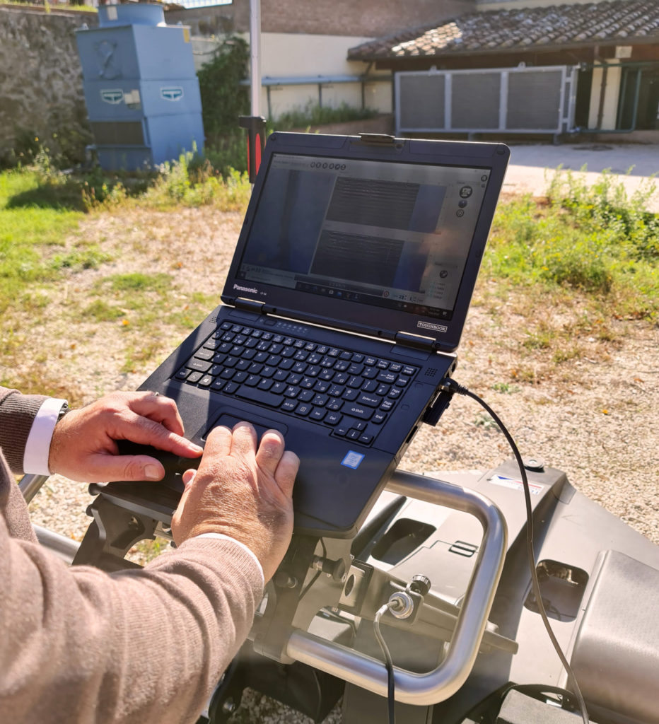
However, this technology has some drawbacks. Mainly, that it requires an expert, typically a trained geophysicist, to interpret the scans. In GEOFIT this issue was addressed and an algorithm, capable of detecting most of the buried utilities, has been developed.
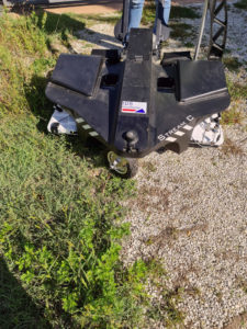
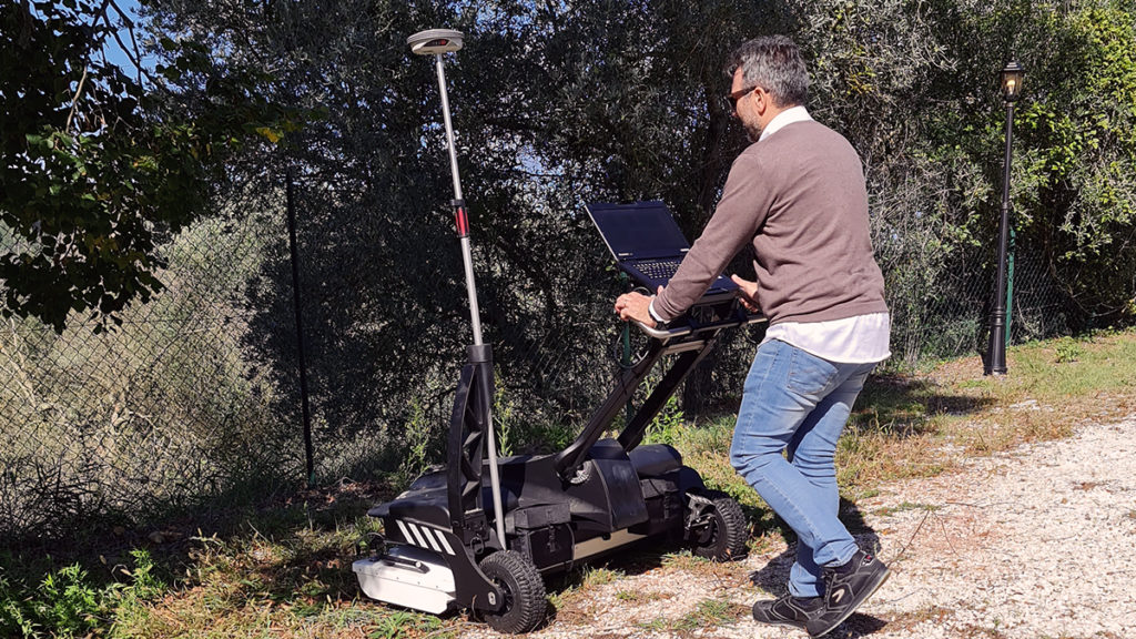
At Perugia, IDS GeoRadar used a recently developed compact GPR array solution designed to provide a 3D mapping of underground utilities. This is called STREAM C and uses a massive antenna array with two polarizations that provide a huge amount of data, thus dramatically increasing the detection performance and the level of accuracy of the survey.
The analysis of the collected data will therefore allow avoiding damages to the buried infrastructures when performing the excavation for the heat-exchanger installation.